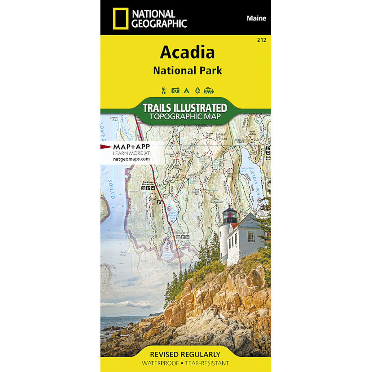
This Trails Illustrated map is the most comprehensive recreational map for Acadia National Park located along the beautiful Atlantic coast in Maine. Updated to reflect road closings, new trails, and campground relocation; it also includes detailed trail information, points of interest, trailheads, picnic areas, facilities, and more.
Details
- Approximately 4 1/4″ x 9″ folded; 25 1/2″ x 37 3/4″ fully opened
- Scale = 1:35,000 & 1:100,000
- Map revised – 2002


