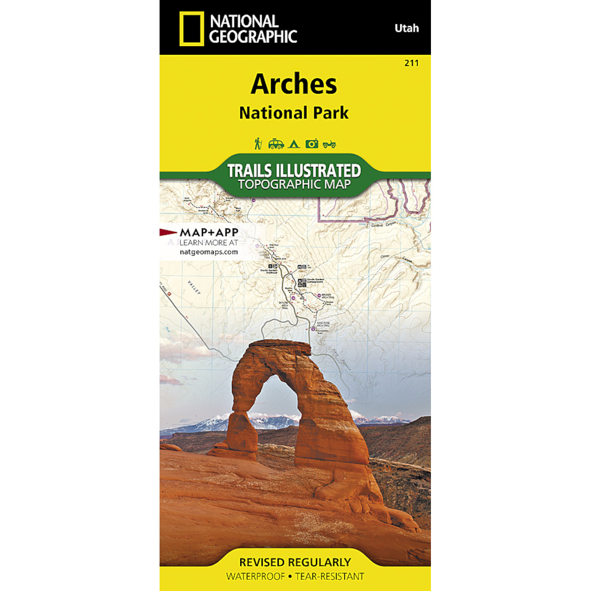
This Trails Illustrated map is the most comprehensive recreational map for Arches National Park in Utah. Updated to reflect road closings, new trails, and campground relocation; it also includes detailed trail information, points of interest, trailheads, picnic areas, facilities, and more.
Details
- Approximately 4 1/4″ x 9 1/4″ folded; 25 1/2″ x 37 3/4″ fully opened
- Scale = 1:35,000
- Map revised – 2005

