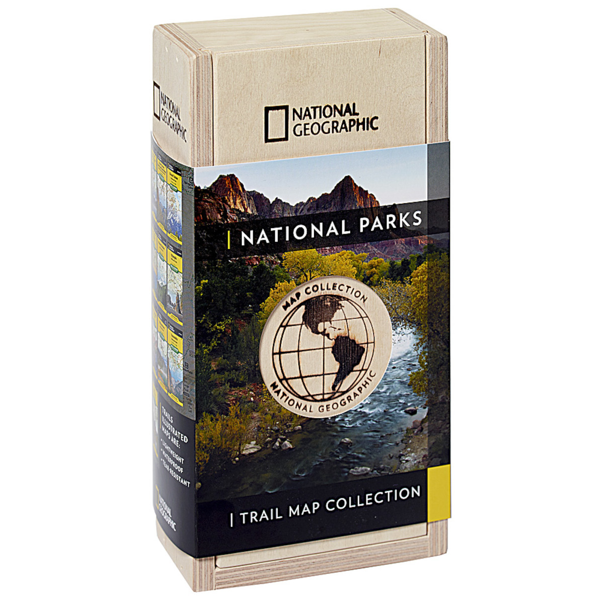
National Geographic Trail Maps – An essential tool for exploring America’s top National Parks
National Geographic’s line of Trails Illustrated maps includes detailed topographic trail maps for all of America’s top National Parks. Featuring updated and easy-to-read trail networks, important points of interest, and the key recreation information needed to make your next National Park visit an adventure.
National Geographic and the National Parks share a deep legacy dating back to the publication of an entire issue of National Geographic Magazine in 1916 titled 'Land of the Best'. That issue helped advocate for the creation of the National Park Service, later that year. Over the years, National Geographic has helped establish, preserve, or restore Sequoia, Katmai, Carlsbad Caverns, Shenandoah, Mesa Verde and Redwood National Parks. It has also publicized the parks through at least 500 books, articles, and maps, not to mention dozens of television documentaries.
- Features
- Waterproof
- Tear-Resistant
- Nearly Indestructible
- Detailed Topography
- GPS Compatible With full UTM Grid
- National Parks Trail Map Collection includes
- Map 200: Rocky Mountain National Park
- Map 201: Yellowstone National Park
- Map 202: Grand Teton National Park
- Map 206: Yosemite National Park
- Map 214: Zion National Park
- Map 215: Glacier and Waterton Lakes National Parks
- Map 216: Olympic National Park
- Map 217: Mount Rainier National Park
- Map 229: Great Smoky Mountains National Park
- Map 261: Grand Canyon National Park
- Specifications
- Weight: 4.39 lbs
- Dimensions: 3 x 5.5 x 10.5
- Capacity: 10 maps
- ISBN-10: 1566957249
- ISBN-13: 978-1566957243


