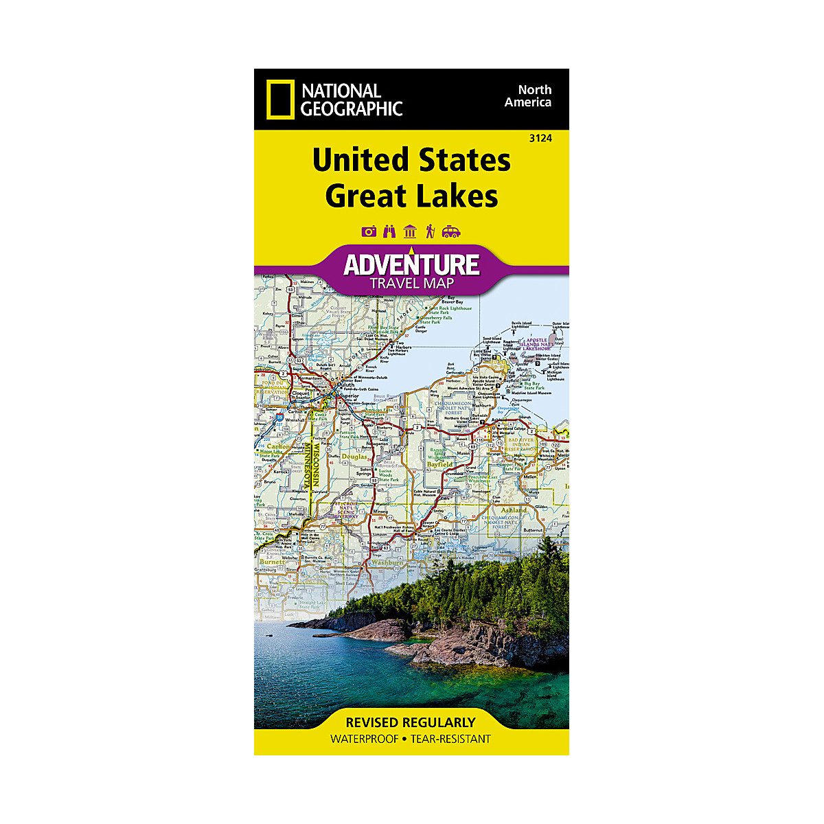
The United States Great Lakes Adventure Map will guide you to the five Great Lakes of Superior, Michigan, Huron, Erie, and Ontario. This region of the country has used the Great Lakes as a pathway for exploration, trade and recreation for hundreds of years and these traditions still thrive as witnessed by the cities and towns that border the Great Lakes. The states of Minnesota, Wisconsin, Illinois, Michigan, Indiana, Ohio, Pennsylvania, and New York all benefit from their contact with the largest freshwater lake system on Earth. The map includes the cities of Duluth, Milwaukee, Chicago, Detroit, Toledo, Cleveland, Erie, and Buffalo on the American side with Toronto, Kingston, and Windsor on the Canadian side, and the breathtaking Niagara Falls in between. There is simply no better map for exploring the states bordering the Great Lakes.
- Features
- Every Trails Illustrated map is printed on 'Backcountry Tough' waterproof, tear-resistant paper
- A full UTM grid is printed on the map to aid with GPS navigation

